This oneway, exiguously trailed, orienteering-required, mission improbable backcountry trek should come with a freaking warning label.
Those who bothered to read the previous couple of posts know the particulars of our quest to bag the elusive Bimetallist Mine to Weehawken trailhead...you know, the one that had me leading (aimless wandering) the Hiker Babes down the wrong drainage with confidence and pluck, the one that broke Jen's leg and required a team of Ouray Mountain Rescue volunteers to lug her off-mountain, the one that requires a GPS to stay on-trail.
 |
| Jen, being air casted before being carted off the mountain |
I was anxious to get this hike done. One good snowstorm could well close this hike till next summer. So Bobbie and I picked a day and put out the word to Hiker Babes, doubting anyone in their right mind would take us up on it given false starts and bad luck.
Jen was still recovering from her broken leg, obviously. Bridget was back east attending her mother's 100th birthday and Michelle has been AWOL lately, too busy running her two gift shops on Main Street Ouray (miss you!) That left Ruthie, who had a sleepless night before due to horrendous toothache. No worries. Bobbie and I would just go it alone...and take along our new SPOT with an SOS button! (Thank you, Ara!!!)
So off we went, bright (actually kinda dark) and early, filled with a conflicted mix of anticipation and trepidation. But hey, this time we had a SPOT to bail us out of mistakes/falls/heart attacks/bad weather/wrong drainages, etc., etc.. We dropped the truck at Wehawken's trailhead, then head up to the Bimetallist Trailhead, a "top-down" that would save mucho elevation gain for the first exploratory hike.
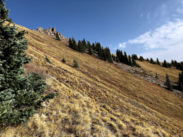
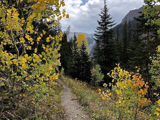
An unseasonably warm morning found us overdressed for the uphill grind. Better too warm than too cold as far as I'm concerned. We shed layers, packing up through the detrital remains of past avalanches, downed trees laying every which way. Fortunately, most of the trail had been cleared by two guys with chainsaws, whose job it was to improve the route for Jen's stretcher ride off mountain.
Our packs were burdensome, weighted with "this-n-thats" for several potential negative "outcomes." We felt that weight with every upward step. Jen's mishap, a week prior, was fresh on our minds. Better too much than too little. At the beginning we were on familiar ground, thus lost no time due to "route finding."

The Ridge
 |
| Faux Potosi. Note the shape of The Imposter above, it bears an uncanny resemblance to the real Potosi, which lies behind it and fooled me into taking the wrong drainage last time. With this knowledge, it will be necessary for us to descend into the basin below...losing precious hard won altitude...then reascend to gain the saddle to the mountain's right. |
As we dropped into one of the most stunning basins Bobbie and I have ever rested eyes on, I wondered if and how Potosi's basin would match up.
But there, beyond the false summit...was Potosi! And, of course, the next ridge. Will there be another?
 |
| Potosi: She deserves another look... |
On a broad 12,700 foot saddle, we took a break to eye Potosi's massive summit, another 1,000 feet higher. I looked for a possible route up, but was stumped. I know people who have climbed it, but the ridge lines appear too ruff and rotten for me. "No Trespassing, old man."
Fortunately, the second ridge is not another false summit. We are on top, in the saddle, and it's all downhill from here. Sounds easy, don't it? Unfortunately, it's 4,000 feet to our vehicle, parked at Weehawken's Trailhead. Ugh, what a toe-jam.
Bobbie and I ease across the broad, bouldered saddle, taking in views while searching for the "Pack Trail" that would lead us down. It was nearing 11 AM, 2 hours and 45 minutes from where we started. Plenty of time...if all goes well.
 |
| We slip from Potosi's watchful eye via a descending couloir that winds toward "Black Mountain." |
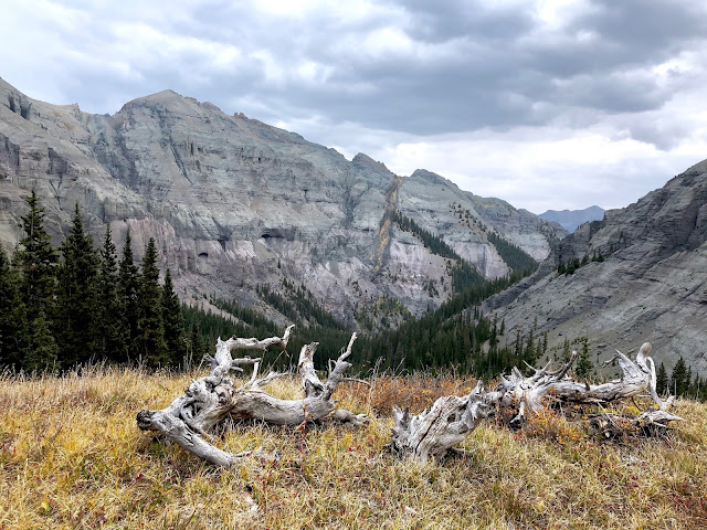
Bam! Finally, after all the false starts, failures, not to mention, Jen's broken leg, our disbelieving eyes come to rest on Upper Weehawken Basin. What a view, but what a descent, too, 4,000 feet. About then our scant trail petered out.
 |
| I'm relieved to see the tippy tops of a few familiar hoo doos reaching up from chalky mountains...just like in the wrong basin. Uncanny. |
Bobbie goes left and I go right, in search of the best way down. It seems there is no "best" way (tho hindsight would prove me wrong). We tiptoed out, crossed a tumble of precipitous scree, laced with boulders.
 |
| Headed down across the scree |
 |
| As we drop, more of Weehawken's magical basin reveals itself |
 |
| Our descent is long, slow and tedious, with an abundance of places where injury is just one misstep away |
 |
| Rock and "roll" |
It took nearly an hour to reach the relatively surefooted safety of tundra. My GPS App said to aim for the creek below. What a sense of relief, to know we are in the right drainage and to be within a mile or so of our former turn around spot under the hoo doos while scouting this approach a couple weeks ago.
With clouds and spitting rain moving in, we take one last look as we take leave of this lovely, lovely basin.
Onward, till we reach a bench overlooking yet another steep descent. Our legs and toes are already sore and we're only half way down. Time for lunch, peanut butter and jelly sandwiches.
 |
| Our picnic spot |
 |
| Heading on down to the next level...the Hoo Doo level along with familiar turf! |
 |
| We've been here before! |
On tired legs and sore toes, our task was to not blow it by tripping and getting hurt. We slowed down...just wanting to bag this hike and put the long-awaited bow on it.
I predicted 6 hours for this hike, but it turned out to be just under seven. Next time we'll dodge the bouldered scree, go the other route, and save an hour...unless we do it backwards, bottom up (grin). Who's in?
Peace out,
Mark and Bobbie


I don't want to think about the day when the BOX CANYON BLOG ENDS.
ReplyDeleteBy By Mr. & Mrs American Pie
Mark & Boobie you showed us the sky
the Moutain tops so high
least we never forget
the Glory in those gorgeous
San Juan Mountains skies
sorry, was moved once again
Forget the book, make a movie
D & A
These photos are exceptionally gorgeous and purdy! Putting a bow on it, totally agree! So you finally got yourself a SPOT unit eh? Good thing :)
ReplyDeleteYou have such a glorious area in which to hike.
ReplyDeleteYay!!! You did it!! Good Karma for the rest of 2020. Whew!!
ReplyDeleteA big bright bow indeed! Just lovely
ReplyDeleteGorgeous views!
ReplyDeleteYour blog is a bright spot for 2020. And BTW I am happy to hear that Ara was "spot on" giving you the SPOT. -scamp
ReplyDeleteLOVED these photos! Great hike. So glad all turned out well on your last hike. What a harrowing story.
ReplyDeleteWow, there is some gorgeous scenery on that hike. Finally, a SPOT!! Jim feels better :-)
ReplyDelete